
Stream Restorations
Lower West Branch Watershed
Background:
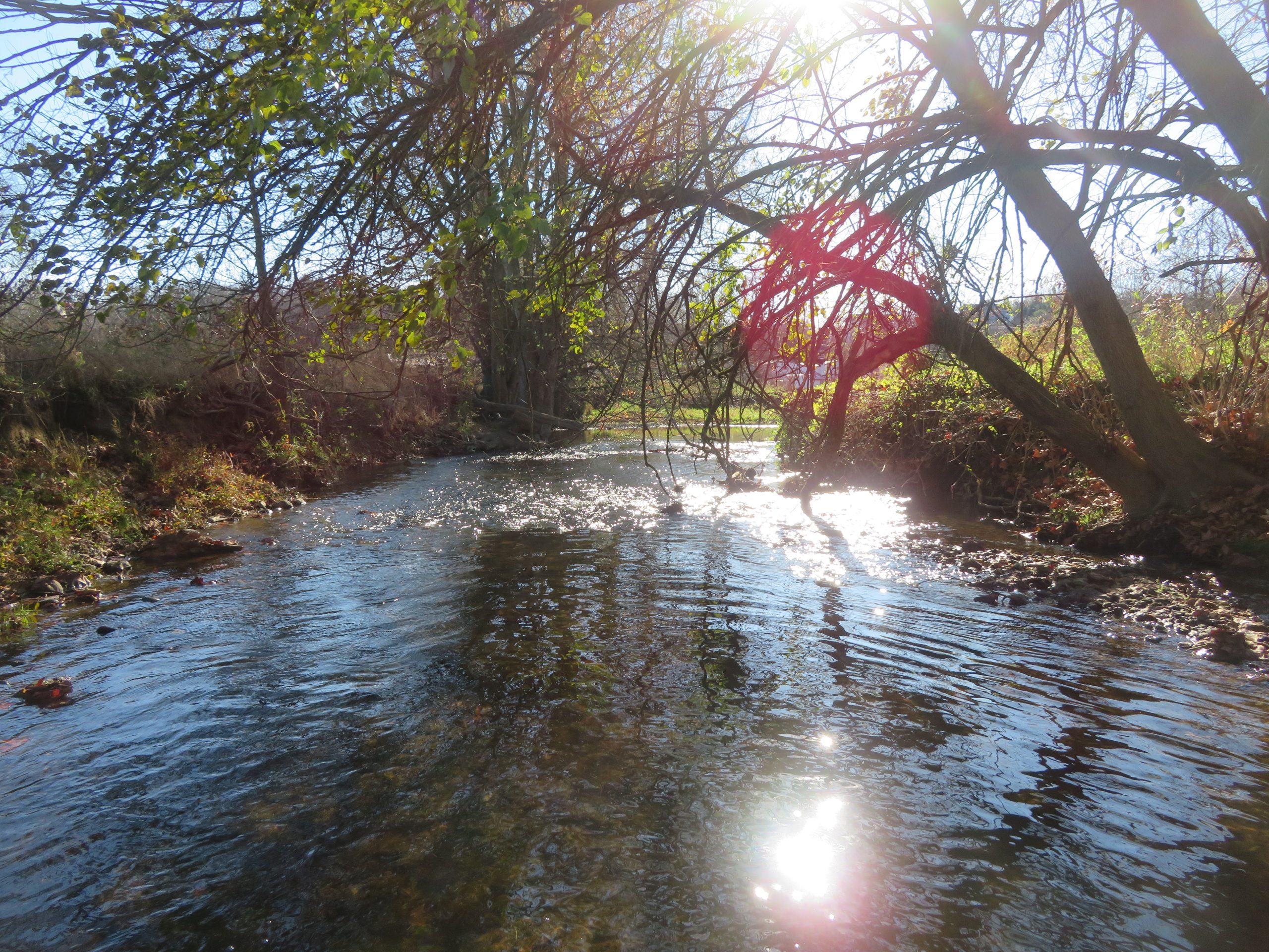
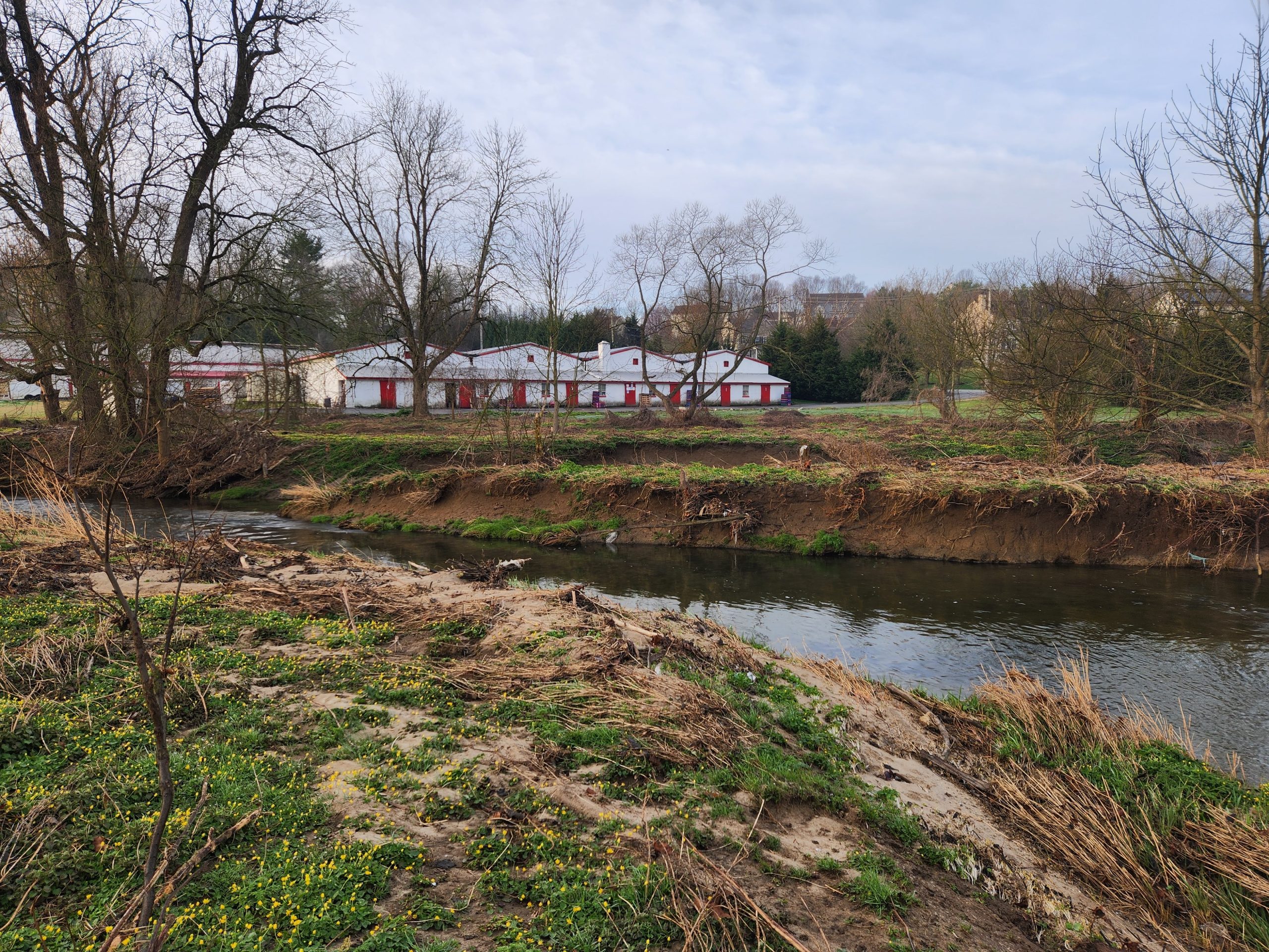
The Lower West Branch Red Clay Creek Watershed is 9.58 square mile catchment area with 20.9 miles of streams and tributaries in the Borough of Kennett Square, East Marlborough, Kennett and New Garden Townships. The watershed is listed by the Pennsylvania Department of Environmental Protection on its 303d list of impaired streams (DEP 2022) with the sources of impairment listed as agricultural pathogens, nutrients (low dissolved oxygen), PCB’s and sediment. Main lands use include residential developments, shopping centers, forested corridors and agricultural areas including mushroom houses, equine operations and crop farming.
Key recommendations:
- Prioritize land preservation
- Work with municipalities and landowners to implement green stormwater infrastructure.
- Implement agricultural best management practices
- Develop a riparian buffer and lawn-to-meadow conversion plan
- Work with landowners and municipalities to address areas identified as
medium and high priority for streambank stabilization, restoration, and
floodplain connection. - Continue monitoring water quality
Activity Summary:
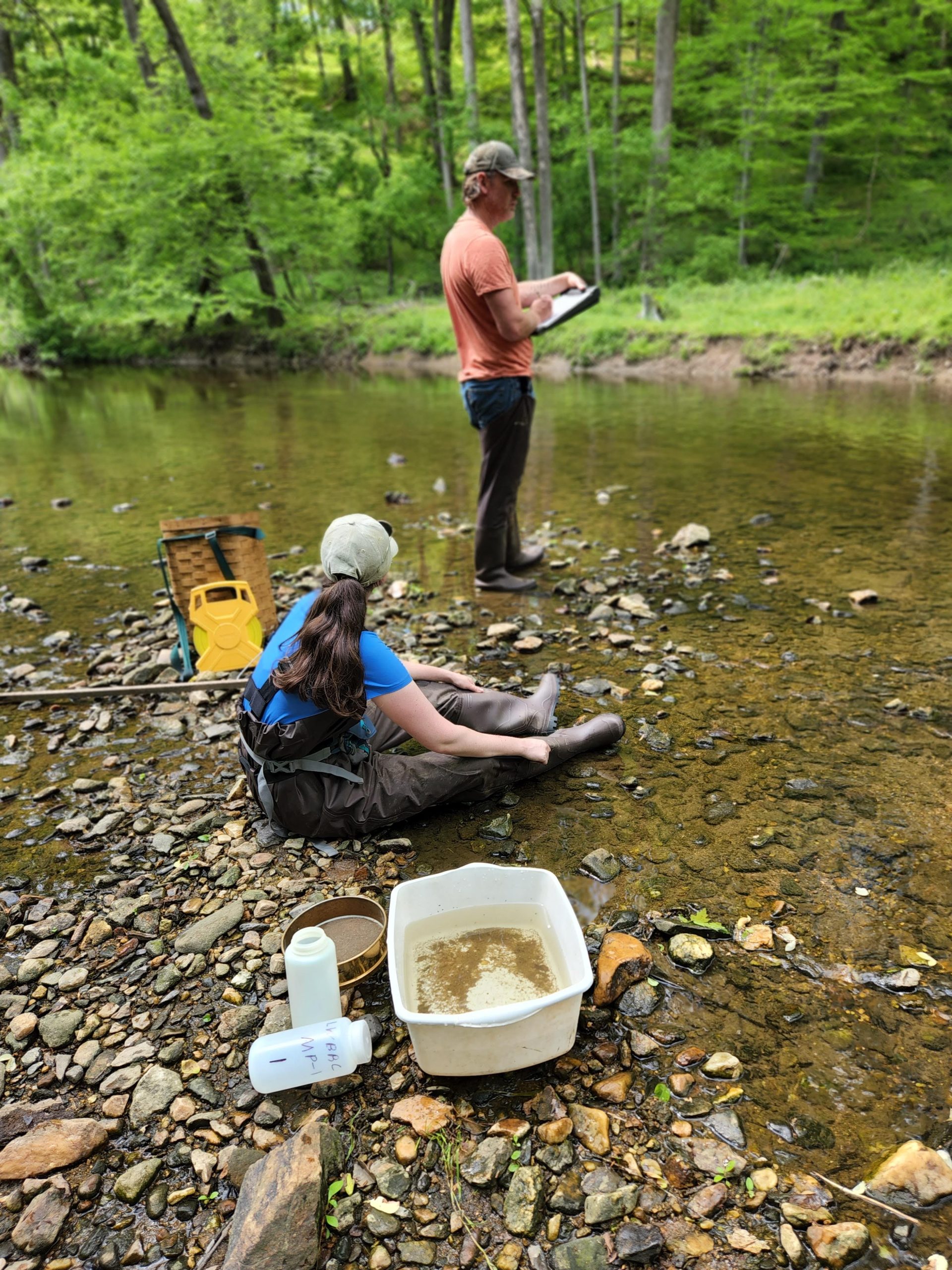
- Sampled 10 sites for water quality base-line data
- Walked entire watershed to identify impaired sites with GPS site identification.
- In 2024, Kennett Trails Alliance funded a stream restoration design for the stream adjacent to the Parrish Trial. The design phase will go for permits in 2025 and includes restoration of nearly 3,000 feet of stream, flood plain reconnection and 6.8 acres of new riparian buffers.
- Additional projects have been identified for future restoration, riparian buffers and agricultural best management practices
Partners:
- Clauser Environmental
- Kennett Trails Alliance
- Borough of Kennett Square
- East Marlborough Township
- Kennett Township
- New Garden Township
Funders:
- E. Kneale Dockstader Foundation
- National Fish and Wildlife Foundation